Urban Growth and Land Change Modeling
Land change systems are complex adaptive spatial systems in which land use and land cover change are driven by human-environment interactions. We focus on the following aspects:
1) Driving factors and dynamic processes in urban growth and land cover change;
2) Computational modeling to study the complex behavior of human activities that drives sophisticated land transition; and
3) Emergence of urbanization patterns (e.g., mega-city regions) and sustainability.
1. Urban Growth Simulation based on FUTURES
Spatially explicit land change modeling is our main concentration to gain insights into complex land change dynamics. We design alternative “what-if” scenarios to support the prediction or projection of future land development. We developed a spatially explicit multi-level urban growth simulation model (FUTURES) to study landscape-level fragmentation modified by the underlying mechanisms. This spatially explicit model has been applied into a suite of study areas, such as Charlotte Metropolitan Regions.
CAGIS Members: Wenwu Tang, Wenpeng Feng, Douglas Shoemaker
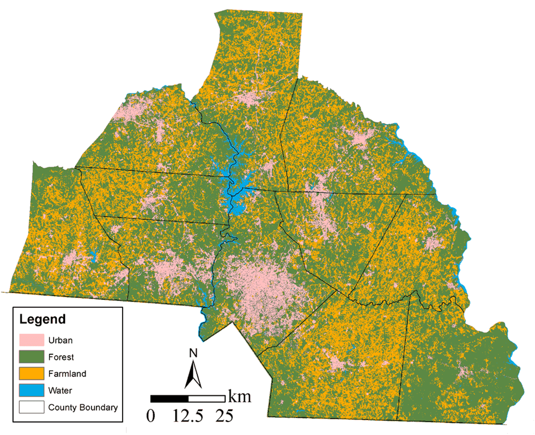
Figure 1. Land Cover Map of Charlotte, North Carolina in 1992
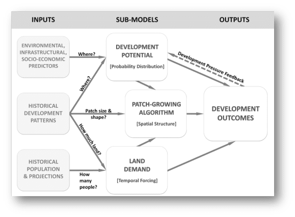
Figure 2. Main Components of FUTURES
2. Smart Growth Simulation
Smart-growth policies and practices hold great potential for resolving conservation-development conflicts, promoting quality of lie, and provisioning sustainable ecosystem services. This project is aim to develop SMART-SLEUTH, an advanced spatially explicit modeling framework based on an open-source software package SLEUTH.
CAGIS Members: Wenwu Tang, Wenpeng Feng, Jing Deng, Meijuan Jia, and Xingjian Liu
The project website is under construction right now.
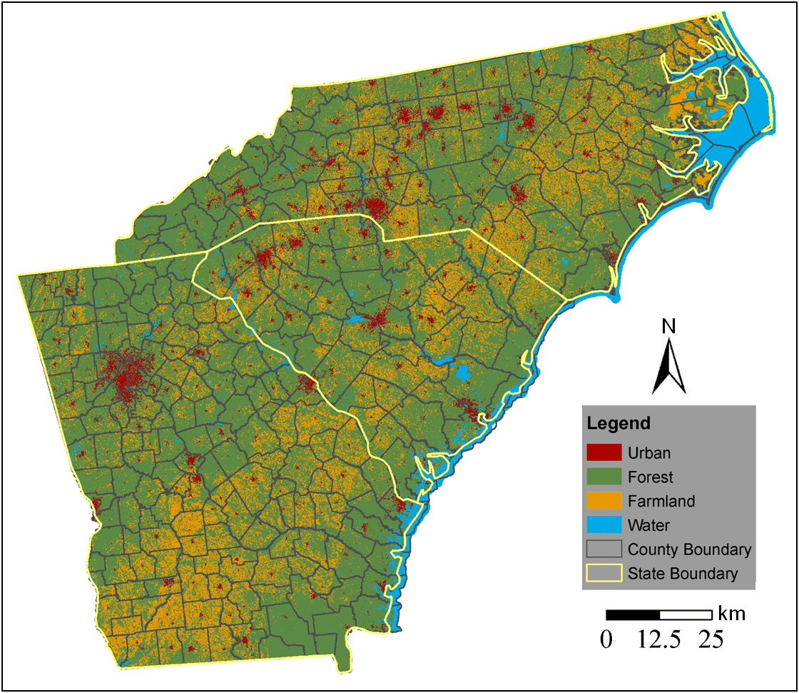
Figure 3. Land Cover Map of North Carolina, Sourth Carolina and Georgia in 1992