CAGIS’s Elizabeth Major ties for First Place in SEDAAG Student Poster Award
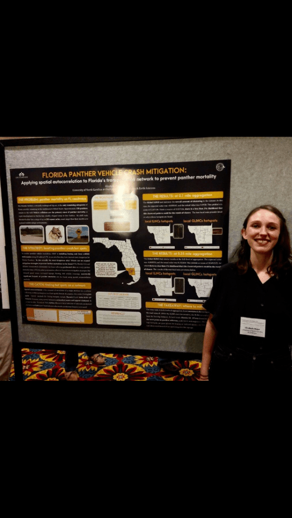
Geography Masters Student and CAGIS Research Assistant Elizabeth Major was recognized for her poster “Florida Panther Vehicle Crash Mitigation” at the recent meeting of the Southeastern Division of the Association of American Geographers (SEDAAG) Annual Meeting held recently in Columbia SC. The study arose from work Elizabeth conducted as part of her graduate Spatial Statistics course at UNC Charlotte. Elizabeth is advised by Dr. Eric Delmelle.
FLORIDA PANTHER VEHICLE CRASH MITIGATION: Applying spatial autocorrelation to Florida’s transportation network to prevent panther mortality.
ABSTRACT: This paper uses a networked spatial autocorrelation methodology, optimized for ArcGIS, to determine hot spots of Florida Panther wildlife vehicle collisions on the Florida transportation network. Florida Panther habitat has diminished significantly over the past halfcentury due to accelerated development, which results in a high number of vehiclerelated mortalities each year. In order to identify areas of interest for mitigation strategies, the number of WVCs was aggregated to segments of the road and analyzed using a networkcorrected modification of Global Moran’s I, Local Moran’s I, and GetisOrd’s Gi* statistic. Ultimately, one corridor, FL SR 29, was highlighted by the analysis, with individual significant segments found throughout the network on various other roadways. These findings are a starting point for strategies to reduce fatalities but could further be used to highlight a direct link between development and WVCs to prevent further encroachment upon their habitat.